When you register for the meeting, be sure to review these special events you can add to your schedule. All require advance registration or RSVPs. Some have additional fees listed below. Already registered for the meeting but see an event you’d like to add to your schedule? Email: registration@seismosoc.org
Schedule of the Week
Wednesday, April 15 – Friday, April 17
Technical Sessions
National Earthquake Hazards Reduction Program Forum (Wednesday)
Saturday, April 18 Field Seminars
From Richter to Real Time: Tracking the Evolution of Earthquake Science at Caltech
Field Seminars
From Richter to Real Time: Tracking the Evolution of Earthquake Science at Caltech
Saturday, 18 April 2026, 8 AM – Noon
Trip Leader: Rayo Bhadha, Southern California Seismic Network; Susan Hough, USGS; Allen L. Husker, Caltech; Monica Kohler, Caltech; Joann Stock, Caltech; Igor Stubailo, Southern California Seismic Network; Margaret Vinci, Southern California Seismic Network
This field seminar offers a behind-the-scenes tour of Caltech’s world-renowned SeismoLab, where earthquake science has evolved from the pioneering days of Richter, Gutenberg, and Benioff to today’s real-time monitoring and innovation. We’ll look back at seismic history, including stories of past Caltech seismologists, and enjoy a rare chance to see a slice of the San Andreas Fault with 800 years of history preserved on display.
From there, the focus shifts to today’s cutting-edge research and technology. Participants will step inside the hub of the Southern California Seismic Network, where engineers will demonstrate the instruments and methods used to keep watch over one of the world’s most seismically active regions. We’ll visit the Media Center to discuss how scientists and public officials respond to major earthquakes. We’ll explore lab experiments where fiber optic cables are stretched and measured to quantify DAS response, CO₂ monitoring devices are developed and AI-driven drones are designed for rapid fault mapping after earthquakes. The tour will conclude atop Caltech Hall, where we’ll learn about the experiments that have been done with the building, including a shaker system. Throughout, participants will have the chance to engage with experts, ask questions and experience how earthquake science continues to evolve from Richter’s day to the real-time era.
Price per person: $95
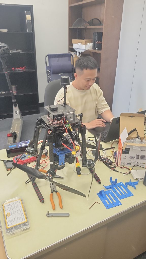
Image Credit: Allen L. Husker, California Institute of Technology
Multi-hazards: Earthquakes, Fire and Water Field Seminar
Saturday, 18 April 2026, 8 AM – 6 PM
Trip Leaders: Erica Fischer, Oregon State University; Don Lindsay, California Geological Survey; Scott Lindvall, Lettis Consultants International; Kate Scharer, U.S. Geological Survey
The San Gabriel Mountains rise 3,000 meters above sea level, creating a striking backdrop to the Los Angeles basin and offering a great location for exploring the impacts of large earthquakes on the landscape and the built environment. We will combine stops in this seismotectonic setting with effects of the 2025 Eaton Fire, which burned the wildland-urban interface along the base of the mountains near Pasadena, and provides a compelling setting to consider the interconnected hazards for cities built along the foothills of tectonically active ranges. Participants will visit alluvial fans actively uplifted on the range front and review evidence of large displacement paleoearthquakes on the Sierra Madre Fault. The group will also traverse debris basins designed to contain post-fire debris flows and engage in discussions about post-earthquake water distribution vulnerabilities revealed by the historic Eaton Fire.
Price per person: $145
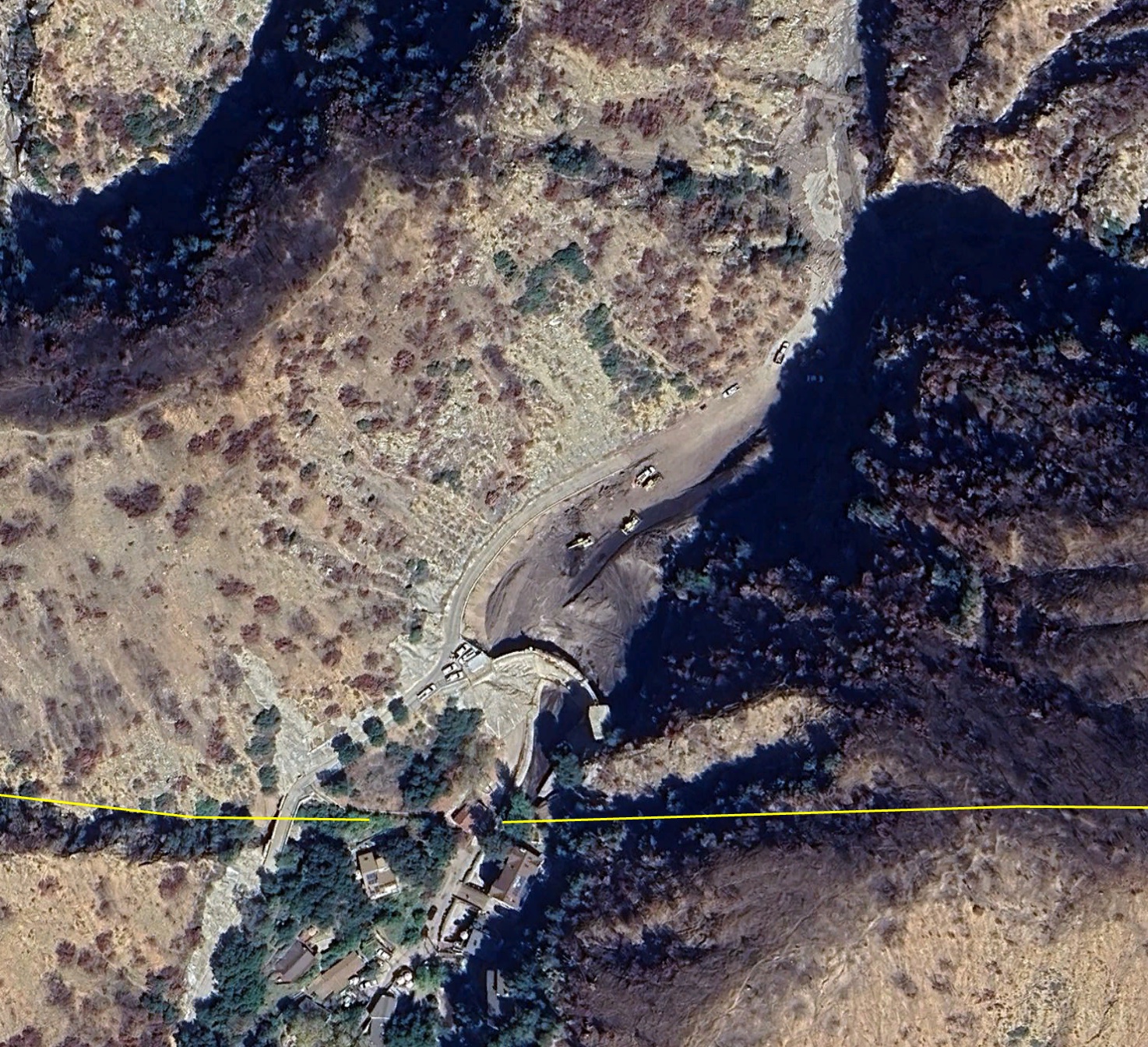
Image Credit: Don Lindsay, California Geological Survey
Faults and Films: How California’s Faults Generate the Backdrop for Famous Movies and TV Shows
Self-guided Tour
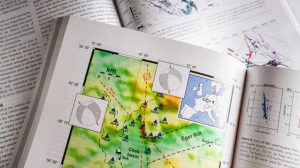
Explore the captivating interplay between California’s dynamic geology and its cinematic history with this self-guided tour. Discover how the state’s iconic fault lines and dramatic landscapes have provided the backdrop for countless memorable movies and TV shows.
Designed for independent exploration before or after the Annual Meeting, the tour includes a comprehensive map and detailed guide to specific locations, allowing you to trace the footsteps of both tectonic activity and Hollywood magic.
View and download the guide here.
Workshops
Annual Meeting attendees may currently choose from the following workshop options on Tuesday, 14 April.
- Advancing Geophysical Research with Cloud Computing
- Exploring Careers in Industry: Panel Discussion & Networking Session
- Introduction to DAS for Seismology: From Data Acquisition to Analysis
- Publishing: How to Review and How to Be Reviewed
Advancing Geophysical Research with Cloud Computing
Tuesday, 14 April 2026, Noon – 4 PM
Instructors: Tammy Bravo, Sophia Parafina, Chad Trabant, Robert Weekly and Sarah Wilson of EarthScope Consortium
Cloud computing is a powerful tool for modern geophysical research and education. EarthScope’s cloud-hosted data repositories are adjacent to scalable compute resources, offering new ways to process analyze and collaborate on scientific data.
This intermediate-level workshop will help participants build on foundational skills by exploring more advanced strategies for using the GeoLab JupyterHub. Through a mix of instruction and hands-on exercises, participants will:
- Compare cloud versus traditional computing workflows
- Explore optimal approaches to accessing and analyzing EarthScope’s cloud-native data
- Work through sample Python notebooks demonstrating data access and processing
This workshop is designed for early to mid-career geophysics researchers, particularly those already working with EarthScope-managed data or interested in migrating workflows to the cloud. Familiarity with basic Python is assumed and familiarity with GeoLab is strongly recommended.
The half-day session will include interactive instruction and guided time for exploring cloud workflows relevant to participants’ own research.
Max Participants: 40
Image Credit: Chad Trabant, Earthscope Consortium
Registration fees:
- Students: $25
- Early-Career Members: $35
- Standard: $60
- Non-member: $75
Exploring Careers in Industry: Panel Discussion & Networking Session
Tuesday, 14 April 2026, 4 – 5 PM
Moderator: Ross Stein, Temblor, Inc.
Panelists: Jeff Bayless (AECOM), Heather Crume (Moody’s), Sean Maher (Zanskar), Esperanza Linares (MathWorks), Jing Ci Neo (Lettis Consultants International, Inc.)
Where can seismology take you in the private sector? Ross Stein (Temblor, Inc.) will moderate this panel discussion on exploring careers in industry with representatives from Moody’s, Zanskar, MathWorks, Lettis Consultants International and AECOM. You’ll hear about growing sectors and skills in demand from the panelists, then participate in small breakout groups to connect with industry professionals.
Admission is free. To save your spot, please RSVP when registering for the meeting. If you’ve already registered for SSA 2026 and would like to add this event, please email registration@seismosoc.org.
Introduction to DAS for Seismology: From Data Acquisition to Analysis
Tuesday, 14 April 2026, 9 AM – 4 PM
Instructors: Ettore Biondi, Stanford University; Jiaxuan Li, University of Houston; Weiqian Zhu, University of California, Berkeley
This one-day workshop is designed for researchers at all levels who are interested in learning how to collect, process, and analyze Distributed Acoustic Sensing (DAS) data recorded on telecommunication fiber-optic cables. The session will begin with an overview of DAS technology and include an on-site demonstration showing how to configure a DAS experiment and acquire data. We will cover the unique capabilities of DAS for both temperature and deformation sensing, emphasizing its advantages in seismological and environmental applications.
Participants will then be introduced to data processing workflows for extracting meaningful seismic information from DAS recordings. This includes techniques for high-precision earthquake travel-time picking using machine learning, and methods for estimating focal mechanisms across a wide range of event magnitudes. In the final segment, we will demonstrate how to compute noise cross-correlations from DAS data and how to combine these with earthquake arrivals to perform high-resolution seismic tomography.
By the end of the workshop, participants will gain a comprehensive understanding of the end-to-end DAS workflow — from field setup to advanced data analysis — empowering them to fully utilize the high spatial and temporal resolution provided by DAS arrays in their research.
Max Participants: 40
Registration fees:
Price per person includes lunch.
- Students: $65
- Early-Career Members: $75
- Standard: $100
- Non-member: $115

Image Credit: Ettore Biondi, Stanford University
Publishing: How to Review and How to Be Reviewed
Tuesday, 14 April 2026, 1 – 4 PM
Instructors: Allison Bent, editor-in-chief, Seismological Research Letters; John Ebel, Boston College; Brent Grocholski, chief editor, Physical Review X at APS
Peer review is a cornerstone of scientific publishing, and it is a skill that benefits from intentional practice and insight. This interactive workshop will guide participants through the fundamentals of writing fair, constructive and actionable peer reviews. It will also offer strategies for responding thoughtfully and effectively to reviewer feedback on your own submissions. Designed for early-career researchers as well as seasoned scientists looking to refine their editorial skills, this session will help demystify the publishing process and promote a more productive and collegial scientific community.
Registration fees:
- Member: $25
- Non Member: $50